Above average rainfall forecast for the south this week

A more unsettled weather in store this week, following a relatively dry week gone by, according to the latest forecasts from Met Eireann.
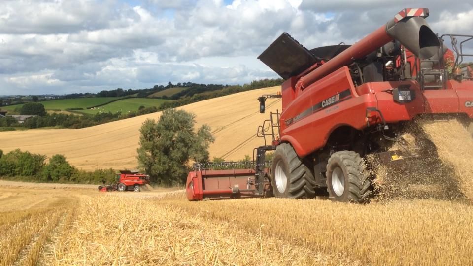
Last week saw very low amounts of rainfall, particularly in the southern half of the country, with amounts only ranging from 5-30% of normal.
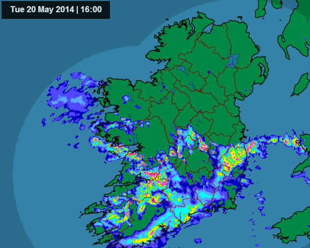
By contrast, we are likely to see the opposite this week with bands of rain pushing up from the South West. With the southern half of the country likely to have above average rainfall this week. Amounts maybe a little below average in Northern parts.
Having said that Met Eireann is also forecasting that there will be some decent dry periods as well in between the rain and there is the possibility it will be that little bit milder than last week.
According to Met Eireann soil moisture deficits are very good at the moment however, they are likely to deteriorate this week especially over the southern half of the country as those bands of rain move across the country.
Met Eireann forecast:
Tuesday: Tomorrow will start off cloudy with some patchy rain or drizzle in parts of the east and the south. It will become drier in the afternoon and the cloud will start to lift to give some sunny spells the best of these in the north of the country. Highs tomorrow of 16 to 20 degrees in moderate easterly winds.
Wednesday: After a fine start (with just patchy drizzle possible) with some sunny spells it will become cloudy, wet and windy with heavy rain spreading from the Atlantic during the day in strengthening southeasterly winds and temperatures of 15 to 17 degrees.
Thursday: Some sunny spells especially in the morning but showers will develop widely with some heavy and possibly thundery downpours. Temperatures of 16 to 18 degrees.
Friday: A very windy day with strong to gale force southwesterly winds and some severe gusts in the northwest. The weather a mixture of sunny spells and heavy, thundery downpours with some hail. The showers will be less frequent in the southeast where the best of the sunshine will be.