Cold weather alert upgraded to cover all of England
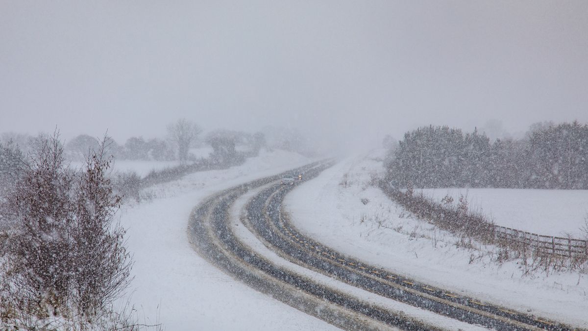
The UK Health Security Agency (UKHSA) has today (Monday, March 6) upgraded its level 3 cold weather alert to cover all regions of England.
On Friday (March 3), the UKHSA upgraded a previously issued cold weather alert to a level 3 just for the areas of northeast England, northwest England and Yorkshire.
Previous yellow weather warnings issued by the Met Office have also been upgraded to include more areas of the UK.
Northern Ireland, north Scotland, northeast England and south England are all under a yellow snow and ice warning today and tomorrow (Tuesday, March 7).
So far, only north Scotland and northeast England have a yellow weather warning for snow and ice on Wednesday (March 8).
The UK weather forecaster said rain, sleet and snow will edge slowly southwards across England and Wales, turning icy during the day tomorrow.
Temperatures tonight will drop back as low as -2° in some places, with the mildest conditions being experienced in the south of England where there will be highs of 6° overnight.
Tomorrow will see rain, sleet and snow clearing from southern England. Inland areas are to experience sunny conditions, but snow and hail showers will affect the northern areas, especially north-facing coasts.
Temperatures will not rise above 4° for many areas on the UK tomorrow, with drops as low as -5° throughout Tuesday night.
Wednesday will be a similar story, with daytime temperatures not rising above 5° in many areas and drops of -3° overnight.