UKHSA upgrades weather warnings for parts of England
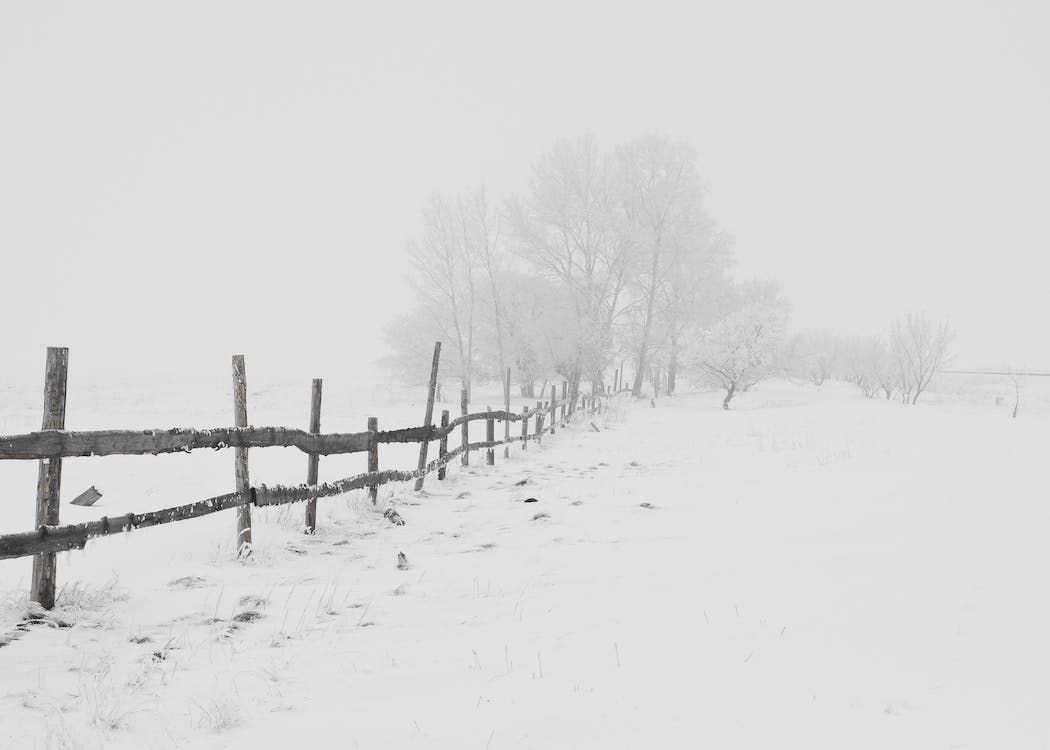
The UK Health and Security Agency (UKHSA) has upgraded the cold weather alert issued earlier to a level 3 for northeast England, northwest England and Yorkshire.
The west Midlands; east Midlands; east England; the South East; and the South West regions still remain at a level 2, the UKHSA said.
In level 2 warning, mean temperatures of 2° are forecast as well as widespread snow and ice, while with a level 3 warning severe widespread ice and snow with temperatures below 2° is forecast.
The alerts are now in place between 1:00a.m on Monday (March 6) until midnight on Thursday (March 9).
The UK Met Office and the UKHSA issued cold weather warnings yesterday (Thursday, March 2) amid forecasts of low temperatures and wintry showers.
The Met Office predicts 5-10cm of snow to accumulate over northern Scotland and said snow is likely within the area covered by the yellow weather warning even to lower ground on Monday.
Icy conditions, the weather forecaster warned, are likely to cause travel disruption.
According to the Met Office, the area of high pressure that has brought the recent mild conditions will move away to the west at the start of next week, allowing a northerly airflow to sweep across the UK.
This change will bring snow showers to Scotland, Northern Ireland and along the east coast of England from Monday, it said.
Snow showers are set to predominantly impact northern and eastern areas but the weather agency warned that temperatures will be low across the UK, with widespread freezing conditions overnight.
Weekend weather
Before the cold spell hits, the weekend will see relatively mild temperatures with Saturday (March 4) seeing high of 8° and lows of 5°.
Temperatures will drop slightly overnight to between 2° and 5°, before rising again to between 6° and 8° on Sunday (March 5).
Temperatures on Sunday night will remain relatively normal for the time of year before the low temperature weather warnings coming into place, with temperatures staying well above freezing and reaching highs of 6°.