
The Status Yellow thunderstorm warning in place for Northern Ireland has been extended to cover more of Scotland until 11:00p.m tonight (Monday, May 8).
The south and west of Scotland is mostly affected by the warning, encompassing the regions of Glasgow, Greenock and Dumfries.
The Status Yellow warning came into effect at 12:00p.m for Northern Ireland and in Scotland at 5:00p.m.
Northern Ireland’s warning will remain in place until 9:00p.m.
What to expect
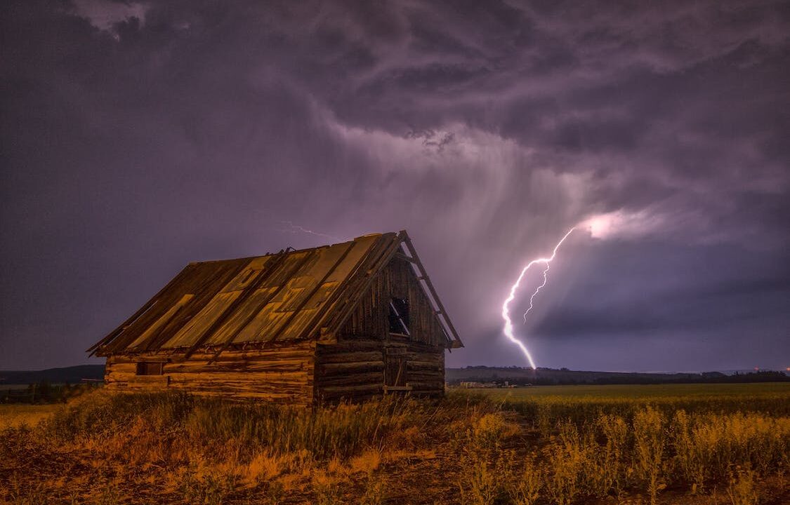
The UK’s national weather forecaster said the Status Yellow thunderstorm warnings mean heavy showers and thunderstorms may cause localised disruptions in the affected areas.
As a result of the conditions, the people in these areas can expect:
- Some damage to a few buildings and structures from lightning strikes;
- Some flooding of a few homes and business likely leading to some damage to buildings or structures;
- A good chances of impacted driving conditions in the form of spray, standing water and/or hail, leading to longer journey times by car and bus;
- Delays to train services are possible;
- Some short-term loss of power and other services is likely.
The Met Office has described today and tomorrow’s (Tuesday, May 10) conditions as unsettled and showery.
There will be spells of heavy rain over southern parts of the UK and there may be some thunder in parts of southern Scotland and northwest England.
Temperatures will be mild and remain mostly consistent over the next few days, ranging from 13° to 18° across the UK.