Cold weather alert extended to cover the weekend
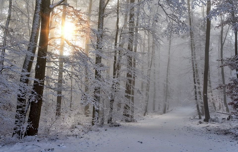
The UK Health Security Agency (UKHSA) has extended its level 3 cold weather alert to cover the weekend amid amber weather warnings from the Met Office.
The level 3 cold weather warning is now in place for all regions of England until Monday (March 13), meaning severe widespread ice and snow with temperatures below 2° is forecast.
Meanwhile, the Met Office has issued Status Amber snow warnings for tomorrow (March 9) and Friday (March 10) for the parts of the Midlands.
Status Yellow snow and ice warnings remain in place today for north Scotland and for parts of the east and south of England and Wales.
These yellow warnings will remain in place tomorrow, as well as a new yellow snow warning for Northern Ireland.
The majority of England and Wales will also be under a Status Yellow snow and ice warning tomorrow.
For Friday, the south of Scotland, the Midlands, Northern Ireland and most of Wales are under a yellow warning for snow. A small portion of the Midlands will still be under an amber warning.
The Met Office said that "further warnings are likely to be issued throughout the week".
Chief meteorologist at the national weather forecaster, Matthew Lehnert, said: "Snow, ice and low temperatures are the main themes of this week’s forecast, with the UK under an arctic maritime air mass.
“Snow could lead to some travel disruption, with a chance some rural communities in the north could be cut off.
“The focus for the snow moves to southern England and south Wales tomorrow and some may wake up to a few centimetres of snow, with the south coast and far southwest likely to see a mix of rain and sleet."
Lehnert said further snow and hail showers are also expected along northern costs, especially in northern Scotland.
“During the afternoon, a further spell of sleet and snow is likely to develop across southern England and south Wales which could cause travel disruption into the evening," he said.
"The impact of lying snow and ice on untreated surfaces may have an impact on Thursday morning travel.”