Fermanagh farm stores 33,000t of CO2e in top 30cm of soil

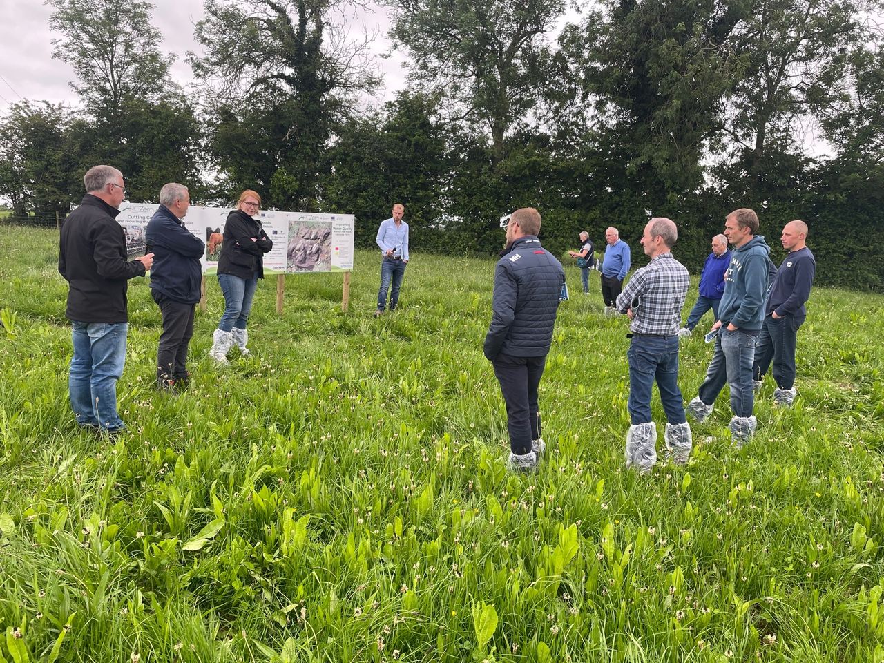
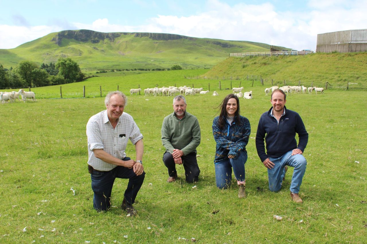
Over 70 people were in attendance at an Accelerating Ruminant Carbon Zero (ARCZero) farm walk in Co. Fermanagh on Tuesday (June 21).
The event was hosted on the farm of John Egerton in Rosslea.
The 74ha suckler and seep farm is run by John, his wife and their sons. It consists of 90 Simmental, Limousin and Saler cows, in an autumn-spring calving system, and a flock of 200 ewes.
Alongside this, the farm also operates a blade calf-rearing unit of 500 calves in partnership with ABP Food Group.
John is one of seven farmers involved in the ARCZero project and those in attendance were able to hear of the extensive work carried out by the Egerton’s to mitigate against fertiliser price rises.
This is being done through a range of farming practices such as:
The above measures have helped bring about a reduction of 20% in the amount of chemical fertiliser used on the Egerton’s Farm.
The establishment of clover into the existing Perennial Ryegrass grazing swards acts as a long-term solution to the reduction of inorganic fertiliser requirements, which aim to further decrease the amount of chemical nitrogen required in future.
ARCZero
ARCZero is a farmer-led, European Innovation Partnership (EIP) Project funded by the Department of Agriculture, Environment and Rural Affairs (DAERA) and the European Agricultural Fund for Rural Development
In the project, data is being gathered on the seven participating farms to create a robust baseline of emissions and carbon stocks on each of the farms.
An AgreCalc farm-carbon benchmark has been carried out for the Egerton farm and the College of Agriculture, Food and Rural Enterprise’s (CAFRE’s) Michaela Tener and Phelim Connolly explained the process and outputs to those in attendance on the day.
While carbon emissions produced on the Co. Fermanagh farm are below average, areas for possible mitigation were highlighted with nutrient management, purchased feed and fertiliser identified as target areas for further emission mitigation.
Vice chair and participating farmer in the ARCZero project, Patrick Casement, informed attendees that by measuring soil carbon through GPS soil analysis at a 10cm and 30cm depth, the Egerton Farm was found to contain over 8,600t of carbon stored in the top 30cm of soil – which is 33,000t of carbon dioxide (CO2) equivalent (CO2e).
LiDAR
Alex Higgins of the Agri-Food and Biosciences Institute (AFBI) spoke to visitors about methods of measuring carbon stored in above-ground vegetation such as trees and hedgerows, which can be measured using Light Detection and Ranging (LiDAR) technology.
LiDAR technology found that the Fermanagh Farm also stores nearly 400t of carbon in trees and hedgerows.
MSS
Attendees also heard of the Egerton’s trial of the Multispecies Sward (MSS), one of the most westerly fields of MSS trialled in Northern Ireland.
Late-spring weather brought severe challenges to management of the sward, however William Egerton emphasised that the MSS sward had grown the highest dry matter yield on farm (DM) this year of over 7t/DM/ha compared to the 6t/DM/ha grown by the traditional Perennial Ryegrass pastures.
This is even more impressive considering the MSS sward only received one application of slurry in the spring, conveying the benefits of MSS upon the reduction of fertiliser inputs.
Prof. John Gilliland of Devenish Nutrition explained the benefits of MSS to soil health through building soil carbon due to increased root structure, resulting in a 300% increase in earthworm populations, as well as the benefits to animal health through the anthelmintic properties of MSS.
Rachel Cassidy of AFBI concluded the event by informing attendees on the further uses of LiDAR technology to develop runoff risk maps – a key part of the Soil Nutrient Health Scheme currently being rolled out in Northern Ireland.
Runoff risk maps can be used to inform on farm decision making when carrying out organic manure applications in areas where surface water runoff from land could result in water pollution.
Further farm walks are planned with the next one taking place at the farm of Hugh Harbison in Aghadowey, Co. Derry, on September 1.