Hutchinsons partner with SpaceSense to provide satellite imagery for growers
Hutchinsons, a leading provider of agronomic services in the UK, has announced a partnership with SpaceSense, a startup specialised in satellite imagery analytics.
The partnership centers around providing satellite-derived field insights for their growers in real-time, as well as developing a crop health monitoring solution that could provide information even during cloudy weather.
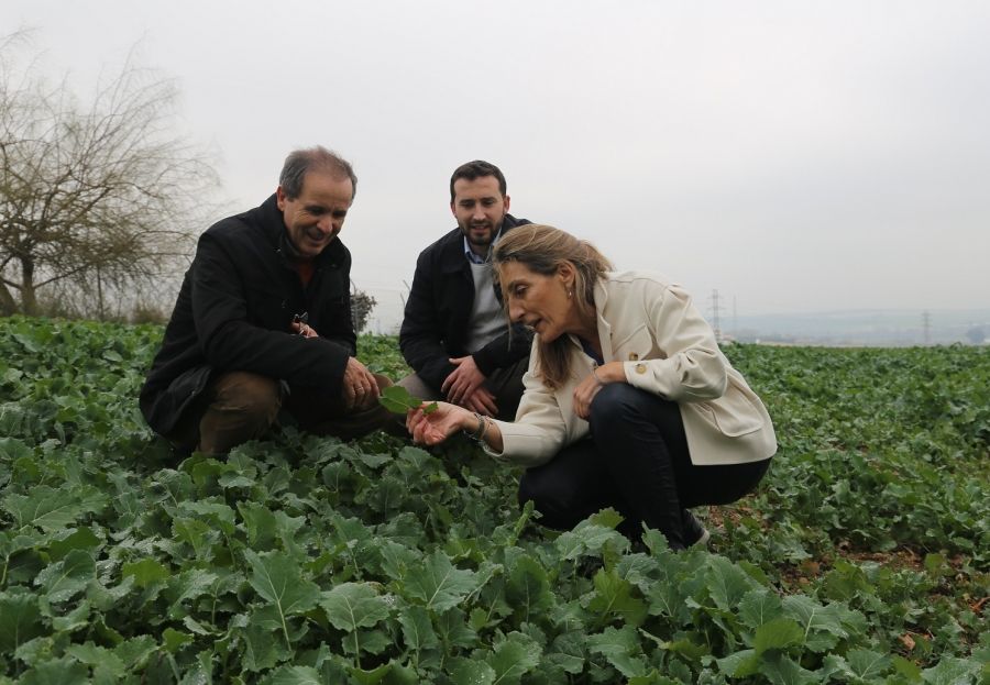
It is crucial for growers to get reliable field data to empower their decision-making.
In order to enable it Hutchinsons created Omnia, a precision agronomy service, and created a partnership with SpaceSense.
Who are SpaceSense?
SpaceSense is a French startup specialized in providing advanced satellite data to digital agriculture service providers.
The company provides information on crop health, soil and carbon sequestration.
Acknowledging satellite data as a core component of precision agriculture, they decided to provide it on Omnia.
They focus mainly on AI-driven solutions which guarantee scalable information while being tailored to the field.
All the users of Omnia can now benefit from real-time information on their crop health, chlorophyll levels and general stress monitoring.
'The feedback we got has been quite fantastic'
"The feedback we got has been quite fantastic," said Oliver Wood, Hutchinsons’ precision agriculture manager.
Providing satellite imagery through Omnia allows our agronomists and clients to see their farm in different ways and react to changes faster than has been possible.
"This could be using variable rate technology to target inputs as well as more conventional husbandry techniques."
Monitoring crop health beyond clouds
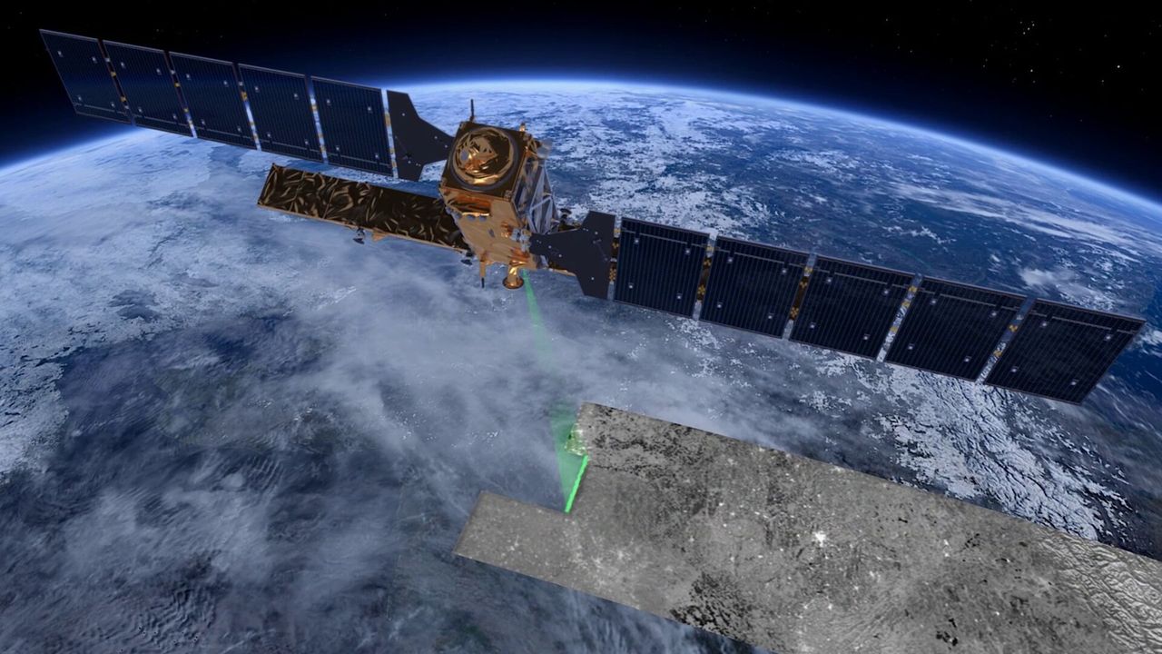
The companies are now looking at how to target their next challenge: clouds.
"Cloud coverage is the main issue of optical satellite imagery," explained Jyotsna Budideti, co-founder of SpaceSense.
If the satellite passes when there is a cloud, you can’t get your image.
"This problem is especially important in the UK, where there are on average three times less images than in Italy for example."
To tackle this challenge, SpaceSense created their Beyond Cloud technology.
Radar satellites, which can see through clouds, are used to provide above ground biomass information at the field during any weather.
Hutchinsons will be evaluating this technology on a range of crops (e.g. barley, wheat and oilseed rape) throughout the United Kingdom during the coming year.