Planet strikes deal with BASF to provide daily monitoring for European farmers
Planet, an integrated aerospace and data analytics company, and BASF today announced a commercial deal to deliver satellite imagery and data to European farmers to enable more effective agronomic decision making.
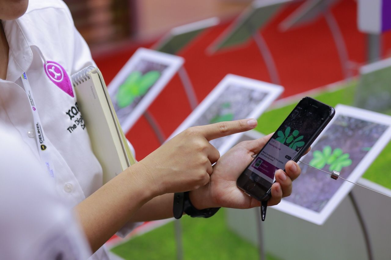
BASF will use Planet’s daily global satellite imaging to develop analytics to power field zone metrics and insights for its digital farming platform, xarvio.
“This partnership further solidifies the value of Planet’s daily satellite data in the agriculture industry,” said Nate Dickerman, chief channel officer of Planet.

“Planet’s high-frequency, medium resolution imagery is perfectly suited for BASF’s xarvio products across Europe. We’re really looking forward to promoting sustainable agriculture through digital farming with BASF.”
BASF’s xarvio digital portfolio aims to improve farming techniques by providing agricultural knowledge that helps growers determine the best application of crop inputs to optimize yields.
Analytics derived from Planet’s daily monitoring will enable growers to sustain expected yields while making more efficient use of crop protection products.
Ole Peters, head of technology digital farming at BASF’s Agricultural Solutions division said: “xarvio’s fully automated Field Manager provides the most advanced field zone optimization in the market.
"The additional imaging from Planet will enable a new level of data quality and availability and will play a decisive role in delivering powerful insights to the farmer."
The partnership will kick off in early 2019 and provide farmers with powerful knowledge for more precise and efficient management of their crops.