Report recommends Land Use Analysis Taskforce for UK
A new report has recommended the establishment of a Land Use Analysis Taskforce to support decisions about how land in the UK is used.
The report was published today (Tuesday, May 23) by the Geospatial Commission, the UK's expert committee that sets geospatial strategy and promotes the best use of location data.
The recommended taskforce, it said, would assess the potential to reconcile competing demands for how UK land is used to meet national priorities, such as those relating to infrastructure, housing, agriculture and the environment.
The report had four recommendations for better use of land in total, based on evidence from academic and industry experts and findings from NLDP’s (National Land Data Programmes) regional pilots in Devon, Cambridgeshire, Newcastle and Northern Ireland.
These recommendations are:
- Establish a Land Use Analysis Taskforce to bring together cutting-edge data and scientific expertise to assess competing land use pressures, ensuring national priorities are delivered within the land available in the UK;
- Champion market innovations that help visualise and deliver how we can achieve better land use decisions;
- Strengthen the links between land use policy design, academic research and industry practice;
- Develop a standard approach to classifying key land use data to improve how we can link data about land.
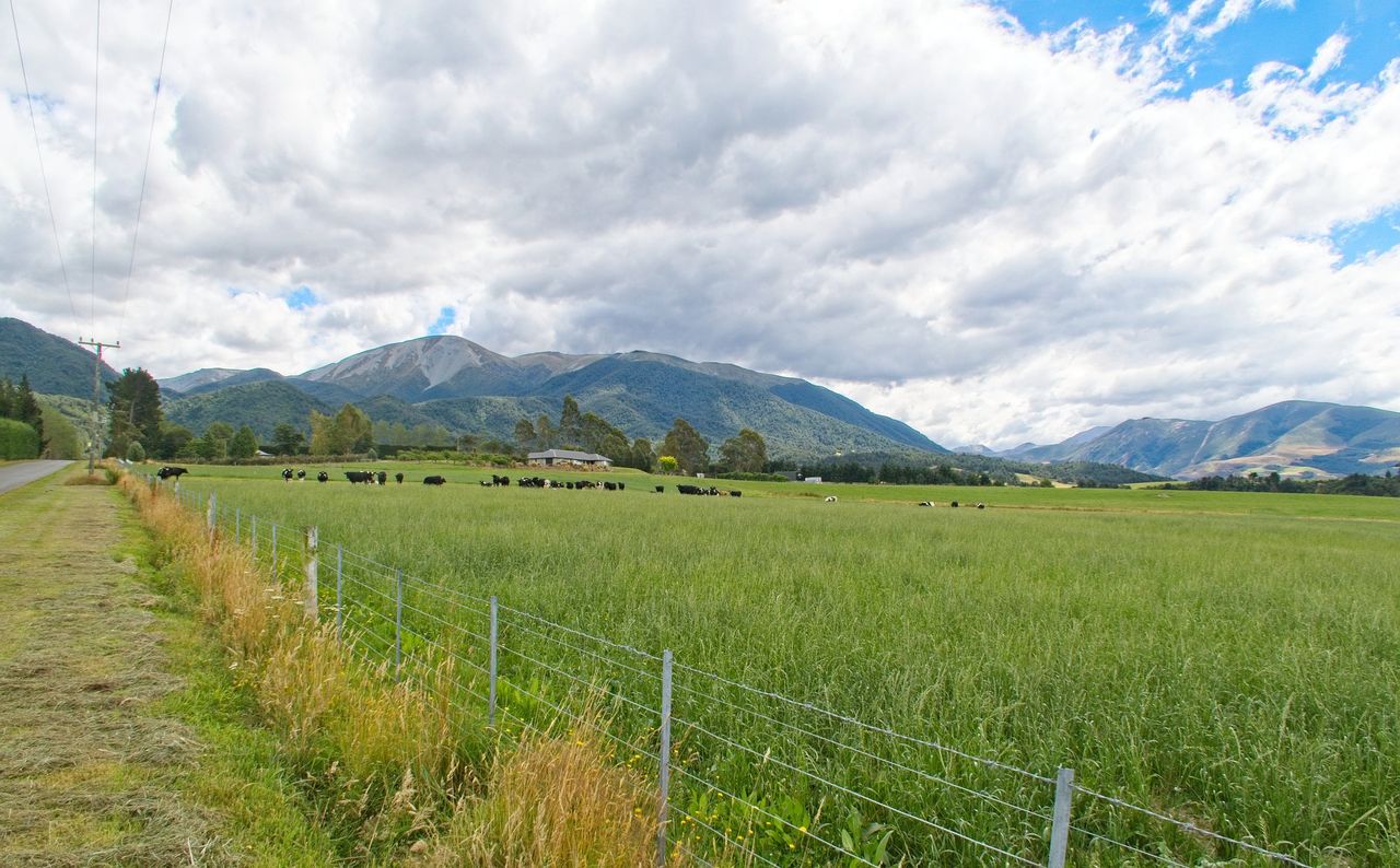
Land use in the UK
According to the report, better use of land is a key driver of the UK’s ambitions to deliver economic growth and fairly distribute opportunity across every part of the UK, while meeting the demands of a growing population.
Minister for artificial intelligence (AI) and intellectual property at the Department for Science, Innovation and Technology, Viscount Camrose, said: "Land is fundamental for how we live our lives - it produces the food we eat, supports ecosystems that we rely on for clean air and fresh water, and provides the space for us all to live and work in.
"As we face new economic and environmental pressures, we need to make smart choices to get the best from our land.
"We should capitalise on advances in data science and modelling technologies to help us bring together data from a range of sources, and present it accessibly, in order to support better use of land."
The report sets out how better data can be used to drive land-use decisions that drive growth, while also protecting the environment, adapting to climate change and achieving net-zero emissions.
It highlights that land use is fundamentally a spatial challenge and some land cannot be used for multiple purposes.
However, there are significant opportunities for multifunctional land use, such as rooftop solar energy, the Geospatial Commission said. The report considers these opportunities across six sectors: Energy, housing, biodiversity, food, water and transport.