Using satellite data to enhance global food security

Accurate estimates and forecasts of crop area and yield play an important role in guiding policy decisions related to food security, especially in light of the growing impacts of climate change, according to a new research paper.
Researchers at the International Institute for Applied Systems Analysis (IIASA) have highlighted the value of integrating remote sensing and data sharing for timely agricultural information critical for food security and sustainability planning in a new paper.
They say that real-time crop monitoring has become increasingly important, particularly for addressing climate-induced losses and damages, as discussed during the last United Nations Framework Convention on Climate Change (UNFCCC) Conference of the Parties (COP 27).
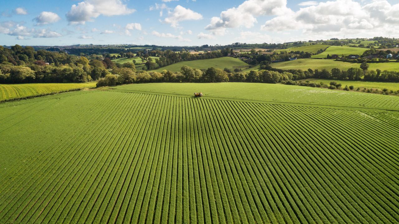
Satellite data
The researchers indicate that initiatives like GEOGLAM and the Agricultural Market Information System (AMIS) have traditionally contributed to monitoring global food security by relying on existing data about crop locations and agricultural productivity.
However, these systems often provide static information based on past data at a coarse resolution, they said.
To address current limitations and advance real-time, global-scale crop monitoring, the WorldCereal project, funded by the European Space Agency (ESA), has reportedly created an open-source, highly scalable system.
This system utilises openly available satellite data provided by the EU Copernicus programme.
In 2021, the system demonstrated its capability to provide seasonal cropland information, crop-specific maps for maize and cereals, and irrigation maps.
In their paper published in Nature Food, IIASA researcher Linda See and colleagues from ESA, the Flemish Institute for Technological Research’s VITO Remote Sensing, Stellenbosch University, and the Food and Agriculture Organization of the United Nations (FAO), highlight the potential for the system to incorporate greater crop-specific data, thereby boosting the accuracy of sub-national and national agricultural statistics.
According to the authors, this enhancement in data quality and gap-filling techniques would significantly improve capacity to monitor domestic situations and contribute to established international protocols, including FAO questionnaires concerning production and land use statistics, UNFCCC initiatives, and the Sustainable Development Goals (SDGs).
Global database
A key innovation of the project, according to the researchers, is its community-based, open, and harmonised global reference database, which contains 75 million samples from 2017 onwards, which was contributed to by many organisations and individual projects worldwide.
To fully realise its potential, the researchers said that steps should be taken to evolve the project into a cloud-based, sustainable platform with diverse operational models.
Linda See, lead author and a senior researcher in the Novel Data Ecosystems for Sustainability Research Group of the IIASA Advancing Systems Analysis Program said: “ESA’s WorldCereal project leverages high-resolution satellite imagery to generate near real-time information about crop types and irrigation.
“This advancement is just the beginning, as it opens doors for continual improvement and global collaboration.
“The system can be used in a demand-driven manner to cater to the needs of various user communities, potentially encouraging countries to not only provide on-site data, but also enhance cropland maps through the incorporation of local knowledge and data.”
The WorldCereal system demonstrates the power of integrating remote sensing, machine learning, and shared reference data, offering critical agricultural production and yield estimates for food security and sustainability planning, the research team has said.
While it demands significant investment, the benefits of having high-resolution, data-rich agricultural information, supported by an engaged global community, far outweigh the costs according to the team.
“In collaboration with international organisations like the FAO, national agencies can leverage this technology to enhance their agricultural statistics and reporting capabilities to support global initiatives like the UNFCCC and the SDGs,” study author Sven Gilliams, WorldCereal project manager at VITO said.
The authors point out that, while the community-based nature of the WorldCereal system offers many benefits, there are still gaps that need to be filled with data from various regions and sources.
There is, however, great scope for improvement through contributions from public and private organisations, as well as emerging data types like street view imagery and citizen science, the research paper stated.