
AgriSearch has published a new booklet focusing on ‘grass cover estimation for precision grazing systems’.
The project is part of a Department of Agriculture, Environment and Rural Affairs (DAERA) research challenge fund initiative that has been developed, in partnership with the Agri-Food and Biosciences Institute (AFBI).
Accurately estimating grass covers is crucial for maximising grassland utilisation, grazing efficiency, and meeting livestock demand in rotational grazing systems.
However, the additional labour required to conduct regular paddock walks to measure grassland (either by using a rising plate meter or by cutting and weighing), and accurately recording data can put many farmers off, despite the clear benefits.
In response, AgriSearch and AFBI have completed a research project evaluating new precision technologies, which have recently come available, to measure grass covers, which reduce labour requirements in comparison to traditional grass measurement methods.
It is hoped such innovations will encourage farmers to adopt technology to improve grazing efficiency and grass utilisation.
Grass cover estimation
The precision technologies evaluated within the project included a range of remote and ground-based technology, such as a ‘Smart Platemeter’ that connects to the user’s phone via bluetooth to speed up data entry, and a C-Dax trailed Pasture Meter that can be towed by an all-terrain vehicle (ATV).
The remote precision technologies reviewed courtesy of the project, comprised a range of drone and satellite technology which were able to measure the reflectance of near infrared light by chlorophyll in vegetation to estimate grass cover.
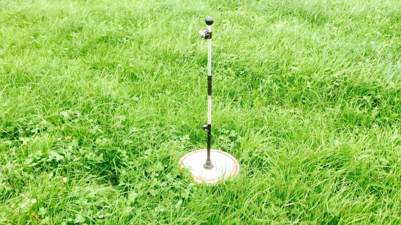
As part of the project, two plot experiments commenced in 2018 and 2021 at AFBI Hillsborough, where both remote (satellite and drone) and ground-based technologies were tested to compare cover estimation accuracy against cut and weigh protocol.
This involved the establishment of a large number of perennial ryegrass trial plots to evaluate the accuracy of technology at a range of different grass covers that would be representative of conditions experienced on Northern Ireland farms.

Findings from the plot experiments indicated there is opportunity for advanced ground and remote technologies to be used within precision grazing systems in Northern Ireland, with grass cover estimation accuracy similar to that of existing grass measurement technology currently used on farm.
However, further development of these technologies is required, in order to be able to integrate them on farm.
Booklet
The new booklet draws a number of specific conclusions.
Different vegetation indices obtained with unmanned aerial vehicles (UAVs) and multispectral cameras have shown strong correlations with pasture biomass in some studies.
However, complex photogrammetry processing and the saturation of reflectance from the dense grazing swards generated through good grassland management remain a barrier to the utilisation of this technology on-farm.
In practical terms, while these approaches show some promise, further development is required before they will be available as commercial packages.
While the process of image collection with a UAV may be speedier than plate-metering a paddock, associated issues such as licensing and training requirements, planning and subsequent image processing do not currently seem to offer the significant time savings, which are desired.
The GrassHopper smart plate meter trialled did the job of recording grass covers equally well to the older style traditional plate meter, while making data recording and interpretation much simpler and faster through the automated upload and processing.
Interpreting automatically processed data from the trailed pasture meter was equally straightforward, and the operation via ATV offers an attractive alternative to using a plate meter, although accuracy remains a concern and the equipment requires a greater cost outlay, the project determined.
Satellite-derived estimations of grass cover were rapid and easy to obtain, although cloud cover and the irregularity of satellite passes was limiting for data collection.
The overall accuracy of the satellite platform tested was low in this trial, but this was highly variable within the study.
With coming improvements to allow data collection regardless of cloud cover, and combined with ground-truth measurements on a proportion of the grazing platform, these remote sensing estimates may well offer more rapid access to grass cover estimate for farmers.