Pioneering North East project uses nature to reduce flood risk
More than 20 natural features have been constructed to bolster flood protection in the North East as part of a pioneering natural flood management project.
The £2.1million government-funded Weardale Natural Flood Management scheme, which includes a series of nature-based solutions such as storage areas, wooden leaky barriers and timber fences, could reduce flood risk across 41km to communities including Lanehead, Wearhead, Westgate and Stanhope.
It has also seen 150ha of peatland restored, and will aim to create up to 75ha of woodland and bring a habitat boost to wildlife.
The project is led by the Environment Agency working in partnership with Natural England, North Pennines AONB Partnership, the Forestry Commission and Durham County Council with representation from the Wear Catchment Partnership, alongside local farmers and landowners.
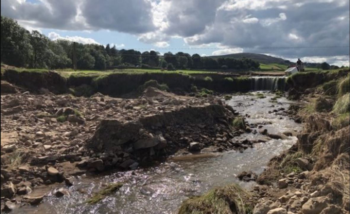
Leaky barriers and storage areas
The first set of features were completed by two landowners this summer on the Middlehope and Killhope Burns, with the next phase due to start in September. In total, they have the potential to store up to 5,150m³ of water – the capacity of more than two Olympic sized swimming pools.
At Killhope Burn, 13 leaky dams have been built across the burn to restrict the flow of water and four timber fences constructed to slow the movement of water across the landscape.
At Middlehope Burn four storage areas have been created which will hold back water during heavy rain. By October, four more storage areas will be created.
Further features will be built into the landscape next year as the project continues.
The work explores reducing flood risk using natural flood management techniques to communities which have historically flooded due to water running from the surrounding hills.