Hottest three-month period on earth recorded – WMO

The hottest three-month period on earth has been recorded with unprecedented sea surface temperatures and much extreme weather, the World Meteorological Organisation (WMO) has said.
Global sea surface temperatures are at unprecedented highs for the third consecutive month and Antarctic sea ice extent remains at a record low for the time of year, the WMO said.
Last month saw the hottest August on record by a “large margin” and the second hottest month ever after July 2023, the WMO said today (Wednesday, September 6).
It is estimated that August 2023 was around 1.5° warmer than the pre-industrial average for 1850-1900, the WMO said. The January-August period has been the second warmest after 2016.
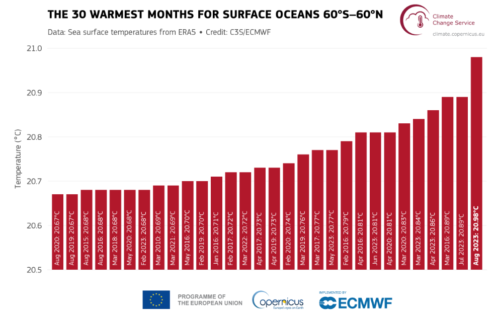
At 20.98°, August saw the highest global monthly average sea surface temperature on record across all months. Previous record temperatures were exceeded every day last month.
Antarctic sea ice extent remained at a record low for this time of year at 12% below average. This is “by far” the largest negative anomaly for August since satellite observations began in the 1970s.
Arctic sea ice extent was 10% below average last month, however it remained well above the record minimum of August 2012, according to the WMO.
Changing climate
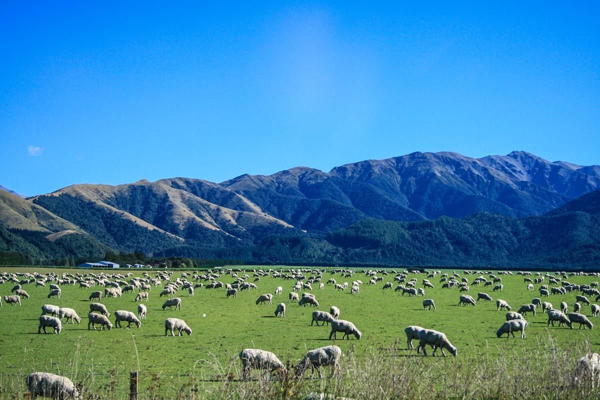
Difficult weather conditions and heavy rainfall on the island of Ireland significantly impacted farmers in the past months, with the wettest July ever recorded by Met Éireann and the UK Met Office.
Over the last three decades, Ireland’s climate has become wetter and warmer, with higher mean temperatures across the country for all seasons and a 7% increase in annual average rainfall.
“The northern hemisphere just had a summer of extremes – with repeated heatwaves fuelling devastating wildfires, harming health, disrupting daily lives and wreaking a lasting toll on the environment.
“In the southern hemisphere Antarctic sea ice extent was literally off the charts, and the global sea surface temperature was once again at a new record.
“It is worth noting that this is happening before we see the full warming impact of the El Nino event, which typically plays out in the second year after it develops,” WMO secretary-general Prof. Petteri Taalas said.
El Nino is a naturally occurring climate pattern associated with warming of the ocean surface temperatures in the central and eastern tropical Pacific Ocean, according to the WMO.
Earlier this year Prof. Taalas said that the development of an El Nino will most likely lead to a new spike in “global heating” and increase the chance of breaking temperature records.